 On-Line & Cloud Delivery
Traditional data delivery on hard drives and other physical media is still standard. Web-based image services and the Cloud make delivery faster and more convenient for many users. GIS can directly access these on-line services on the desktop or in the field via mobile devices including iOS and Android tablets and smart phones. You CAN take it with you!
ESRI's ArcGIS Online and Amazon Cloud are two options for putting your GIS on the web. Maps and data can be published to the world or be kept private for internal or client use only. Simple and intuitive web map viewers can be created that allow even novice users to explore your maps and data.

GIS Situation Status Map or Common Operational Picture
Try it yourself on the web map below! It's LIVE! (items have info pop-ups - click on the map to see)
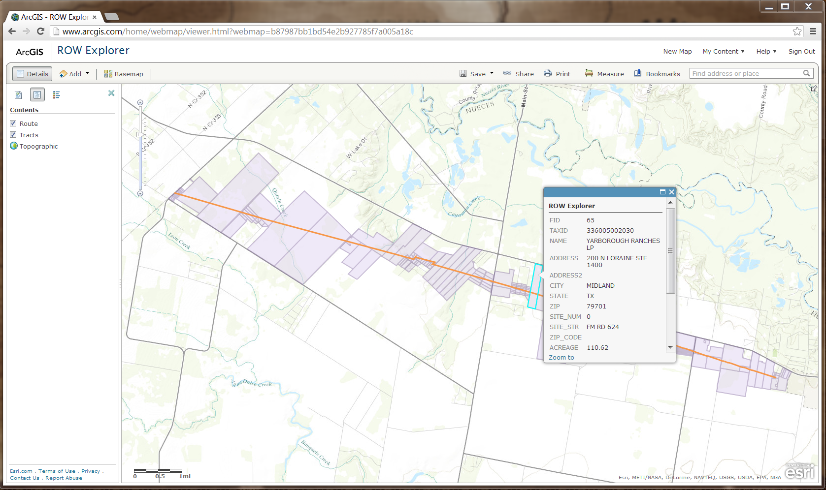
Here is a pipeline ROW web map example from ArcGIS Online (not live):
-
-
Trademarks provided under license from Esri.
-