 Geographic Information Systems (GIS)
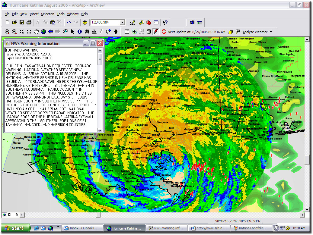
Geographic Information Systems (GIS) is a mature technology that has been providing map-based visualization tools for a variety of industries for over thirty years. Waypoint Mapping is an Esri Partner Network company offering consulting, design and implementation of Enterprise-class GIS for the critical infrastructure, transportation and energy sectors. We also have over 30 years experience in the use of GIS for Emergency Management including Hurricanes Katrina, Rita, Ike and Harvey, major wildfires, floods and the Deepwater Horizon Oil Disaster in the Gulf of Mexico.
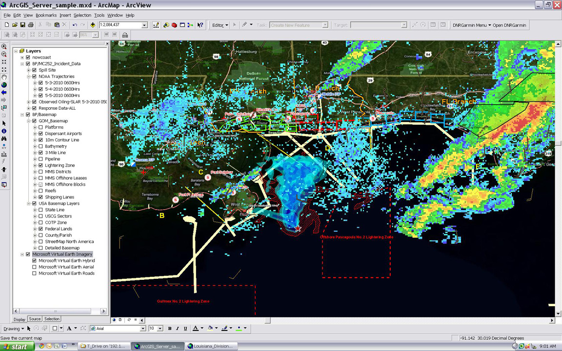
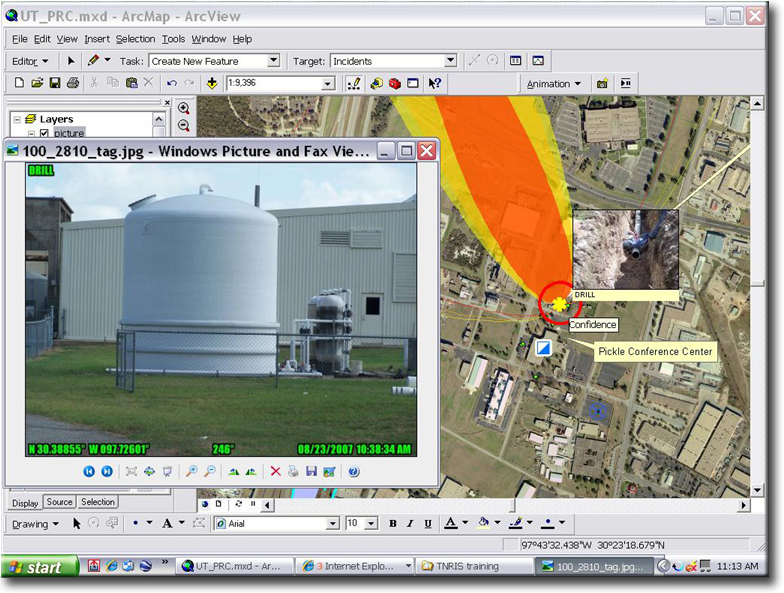
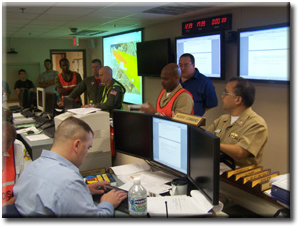
 Waypoint Mapping is an Esri Partner Network company and we pioneered the use of GIS as a "Common Operational Picture" or COP. This provides realtime access to a wide variety of map information for better situational awareness, planning and decision-making by emergency managers. Just like the big map on the wall in old war movies, a GIS-based COP tells a story. Waypoint Mapping implemented the GIS at the Incident Command Post for the BP Deepwater Horizon Gulf Oil Disaster in 2010.
See our article in ESRI ArcNews on GIS at the BP Deepwater Horizon Gulf Oil Disaster
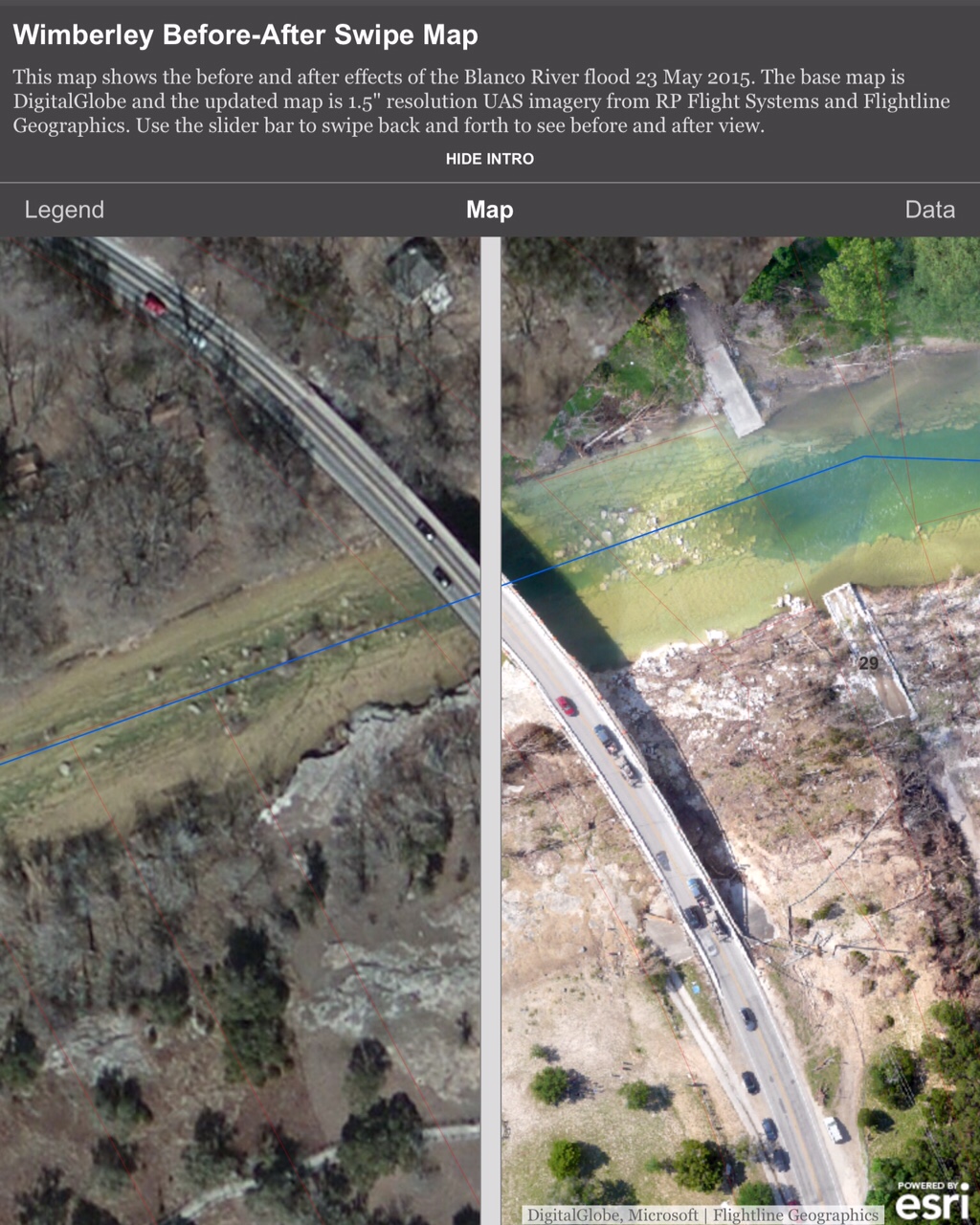
See our article on GIS at the Blanco River Flash Flood Disaster in Wimberley, TX (page 18)
Waypoint Mapping GIS Common Operational Picture at Major Events


Check our our Online Swipe Map that compares before and after drone imagery of Blanco River Flood Disaster in Wimberley, TX
-
-
Trademarks provided under license from Esri.
-