 Global Positioning Systems (GPS)
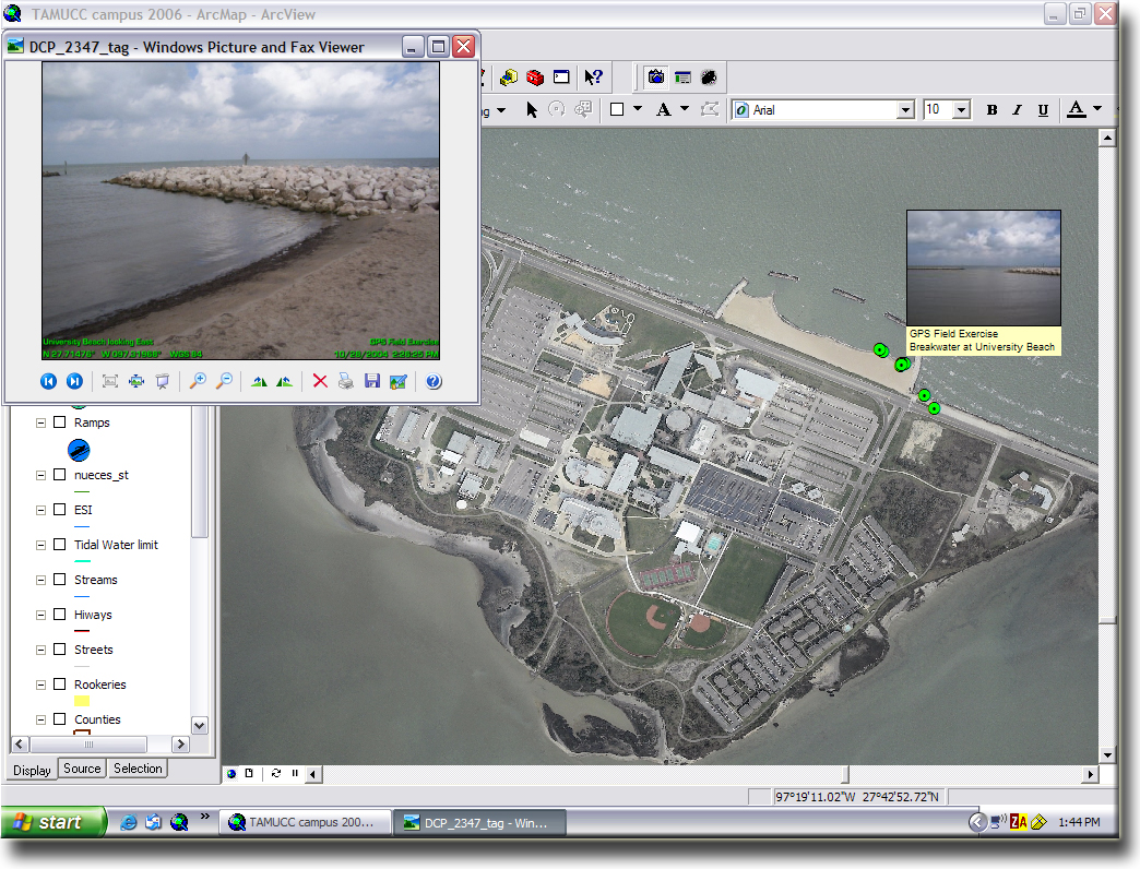
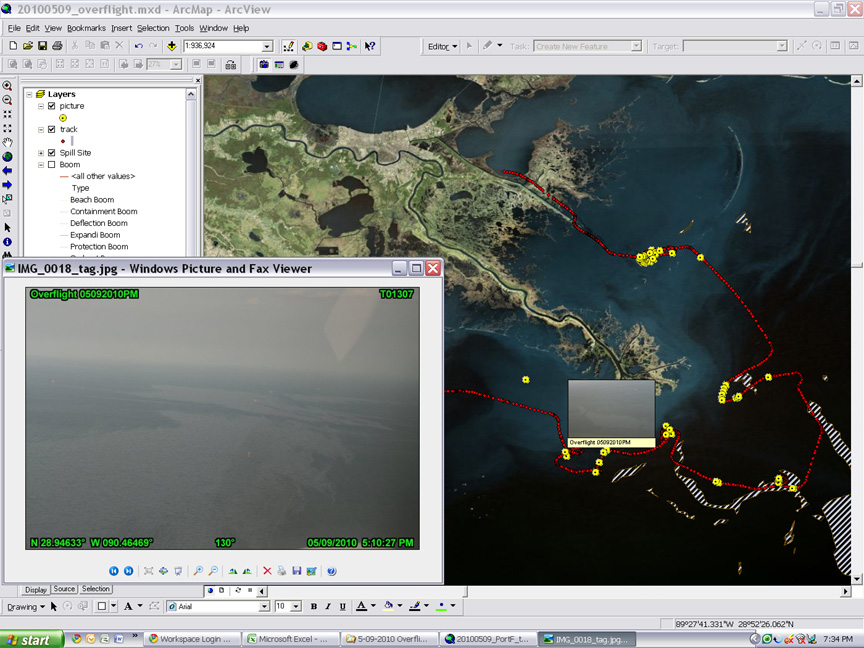
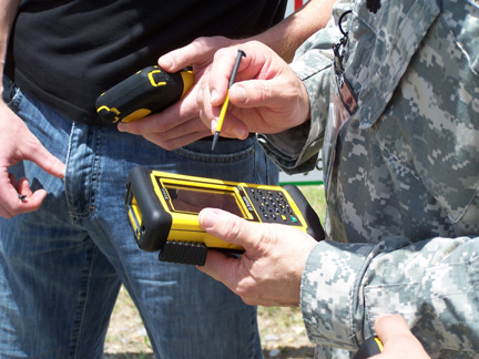
GPS is based upon a constellation of navigation satellites and GPS receivers can tell you where you are on the planet. When it comes to mapping, GPS can be used as a real-time input device to map points, lines and areas. You can even enter descriptive information about locations, including notes and digital photos. All of this GPS-mapped information can be viewed within GIS.
Click on a thumbnail image below to see a larger view.

-
-
Trademarks provided under license from Esri.
-