 Mobile GIS
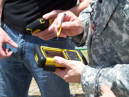
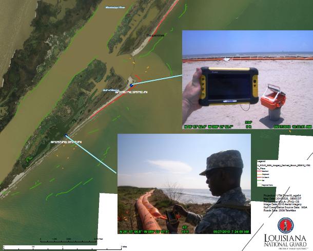
Mobile GIS includes the ability to stay connected to your main GIS, while collecting new or updated map information in the field. Imagine carrying a handheld GPS with your GIS base maps as a background display, while seeing yourself moving around the map. Then navigate to and/or edit map features resulting in a GPS field inventory. The resulting information can be posted or uploaded directly to the GIS.

Click on a thumbnail image below to see a larger view.
-
-
Trademarks provided under license from Esri.
-