| |
| GIS |
| GPS |
| TRAINING |
| CONSULTING |
| CONTACT |
| TRAINING |
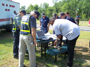
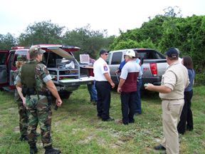
Geospatial technologies are constantly evolving and improving. Keeping up-to-date on the latest hardware, software, data and techniques is easy by attending one of Waypoint Mapping's classes and workshops. Classes are delivered on-site for organizations wanting focused instruction for their projects. We also specialize in conducting full-scale EOC and tabletop exercises for clients in Federal, State and Local Government as well as for private sector clients in Critical Infrastructure such as refineries, utilities, pipeline and seaports. Waypoint Mapping has over 18 years experience training students in the use of GIS, GPS mapping and conducting emergency management drills and exercises in association with Texas A&M University, OHMSETT, Texas Natural Resource Information System and many regional Councils of Government (COGs). Small, workgroup-based training is also quite effective in getting projects initiated or simply learning the basics while asking questions that might not be appropriate in a larger classroom setting. No group is too small! |
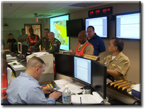
US Navy JRB Fort Worth
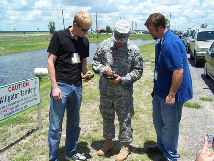
US Army at the Deepwater Horizon Disaster
US Navy JRB New Orleans
US Navy Ingleside